| Location Type: | Adventure Zone |
|---|---|
| Within: | Neverwinter |
| Levels: | 2-5 |

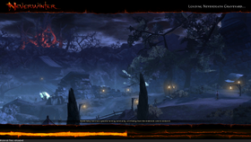
Neverdeath Graveyard loading screen

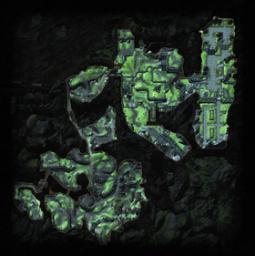
Neverwinter Graveyard map

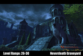
Neverdeath Graveyard
Neverdeath Graveyard[ | ]
The Neverdeath Graveyard, or simply Neverdeath, is the burial place of the city. Doomguides from the Eternal Order of Kelemvor are responsible for protection of this area.
Lore[ | ]
During these years, the dead have been buried in any available space. These recent graves have much simpler markers than those from prior time periods, and are clearly hand made by the mourners left behind.
Since the Spellplague, the Graveyard has seen a great deal of body snatching. While the Lord Protector has devoted few of his resources to stopping the practice, so far it has been sporadic and piecemeal. Lately, though, bodies have been disappearing with much greater regularity and in far larger numbers.
A tattered ledger sheet from the Clockmaker's Catacombs sheds light on why: columns and rows fill the page, listing hundreds, maybe thousands, of bodies -- where they came from, where they've been shipped, and what they're being used for. Someone is gathering corpses at an astonishing rate.
Zone Features[ | ]
- Skirmish: None
- Dungeon: None
- Bounty Item: Necromantic Sigils
- Seals: Seal of the Lion (20 Bounty Items = 1 seal)
Points of Interest[ | ]
NPCs[ | ]
Vendors
Missions
- Captain Zemmer
- Doomguide Orran
- Doomguide Volahk
- Gorim Tomb-Robber
- Harper Windle
- Retrigal Bookbinder
- Tristopher Chettlebell
- Well-informed Harper
Enemies[ | ]
- Archer
- Bone Porter
- Decrepit Skeleton
- Huntmaster
- Hurler
- Lackey
- Minion (Cult of the Dragon)
- Undead Soldier
- Rotter
- Battle Wight
- Deathpledged Gnoll
- Initiate
- Mercenary (Cult of the Dragon)
- Red Wizard of Thay
- Soldier (Skeleton)
Quests[ | ]
See Neverdeath Graveyard Quests for full list.
Scrying Stones[ | ]
See Neverdeath Graveyard Scrying Stones Map for screenshots
- Craftman's Rest: On a flat area behind the left (north) row of statues at (659, 57)
- Graveyard of Neverdeath: Hidden by tree on stone ledge near campfire at (139, -500)
- Pauper's Field: On top of a rock outcropping while crossing bridges near bottom left corner of map at (-344, -265)


